Wednesday, November 15, 2006

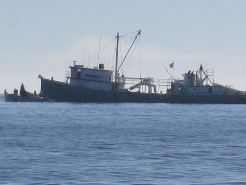
Sandbars, Shrimp boats, Shoal draft, Salt marshes We travelled in the rain today and anchored out at M263 in strong winds (gusting to 35 knots). Flood warnings are being broadcast on our VHF radio, which explains why all the beautiful homes that we see edging the shore, have the strange design feature of starting on the 2nd floor. The narrow channel that we are travelling along, on the edge of Bogue Sound is bordered by sandbars, salt marshes and sand dunes. We are constantly grateful that we have a shoal draft and only require 4'l0" of water, however we do find going aground here in the sand to be much more forgiving than the North Channel rocks. While moving along today in rainy but warmer temperatures (62F), we sighted 5 dolphins and many great white heron and pelicans. We continue to see many shrimp boats. We're told the fishermen name their boats after their mothers or daughters as their wives change too frequently.
The long and winding road - North Carolina We got an early start out of our anchorage at Mile 127 (ICW) on the Pungo river. We travelled south down the river, across the mouth of the Pamlico River and in to Goose Creek. From there we went out into Pamlico Sound and around to the town of Oriental in the Neuse River where we anchored for the night (M180). The next day we headed across the strong cross current from Pamlico Sound to enter Adams Creek. This took us through to the Newport River. We saw 3 porpoises there in the strong current of the shallow water. We rounded Morehead City into Bogue Sound where we travelled against the 3 knot tidal current. We attempted to enter the anchorage at Peletier Creek but found the entranceway was shoaled. We carried on and were successful in entering the excellent anchorage at Spooner's Creek (M210). Our anchorage was one block from the Wal-Mart store. We wandered over in the evening and came back with a t.v. and antenna. (Barry insisted we buy it!) After 4 months of spending our evenings reading or occasionally viewing a movie on the laptop we delighted in watching "deal or no deal".
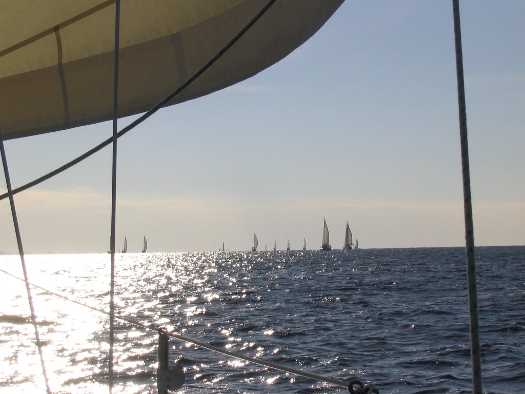
Snowbirds in Flight Elizabeth City's free public dock held 20 or more migrating snowbirds as a cold front passed through. At 0800 hours on November 5th the weather window opened and within minutes we were all in flight, sailing into the early morning sun on the open water of Albemarle Sound. We travelled through the Alligator River and onward to the Pungo River canal. We had planned to anchor at Mile 114(ICW)in the anchorage listed in our Chartracker guide, however there was inadequate depth and we were forced to carry on. Both sides of the narrow canal were strewn with tree stumps sticking out, as well the shoreline was badly eroded caused by the wake of high speed power boats as they make their way out to the ocean. An attempt to anchor for the night before the sun set saw our anchor stuck in a mass of logs while a huge power boat shot by leaving us to deal with his inconsiderate bad manners and wake. Unable to anchor we were forced to carry on through the treacherous canal but luck was on our side as our course was 270 degrees magnetic. We could see that we were in the centre of the canal by the light of the setting sun on the water and luckily as well, there was also a full moon that night. With the use of our depth sounder we arrived safely at the next anchorage (M127)and spent a restful night after travelling 75 miles today. We were thankful of our CPS training today.

Thursday, November 02, 2006

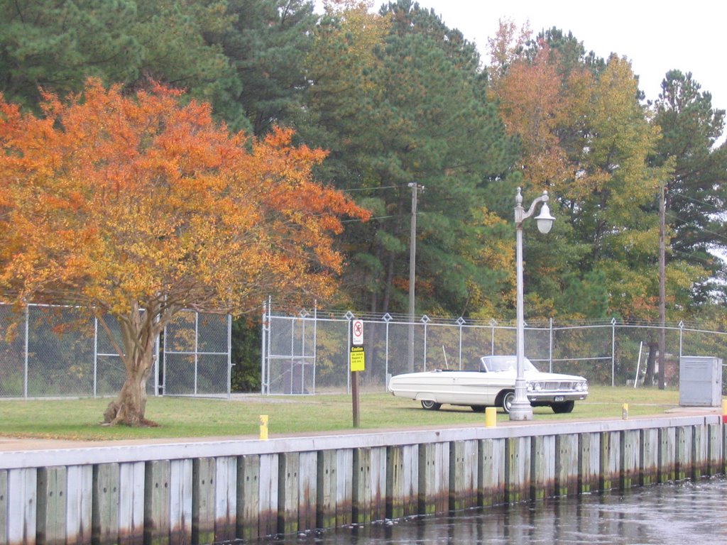
November 1st - North Carolina Our motoring along the Great Dismal Swamp brought us to the North Carolina border, mid-day on November 1st, in hot sunshine. We continue to enjoy the beautiful fall colour. We found the garden of cotton growing at the North Carolina visitor's centre to be very interesting. At the end of the day we were welcomed into the free public docks at Elizabeth City, mile 51 of the Inter-coastal waterway (Great Dismal Swamp route).
Halloween in the Great Dismal Swamp The trick is not to go aground, the treat is the Great Dismal Swamp. We had travelled a mere 3 miles into the Great Dismal Swamp before we found ourselves aground. Since this was not (by any means) our first time in this perdicament, Barry soon had us afloat again. The Great Dismal Swamp is anything by dismal. The fall colour was in abundance. We locked through Deep Creek lock and spent Halloween night docked on it's southern side. We enjoyed drinks there with fellow Canadians, out of Cobourg, Ontario, Frank Farago and Dianne MacDonald on board their beautiful 34' PDQ power-cat "Kama Kat".
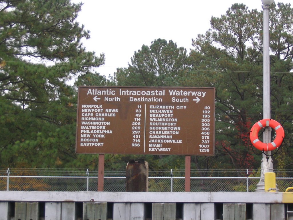
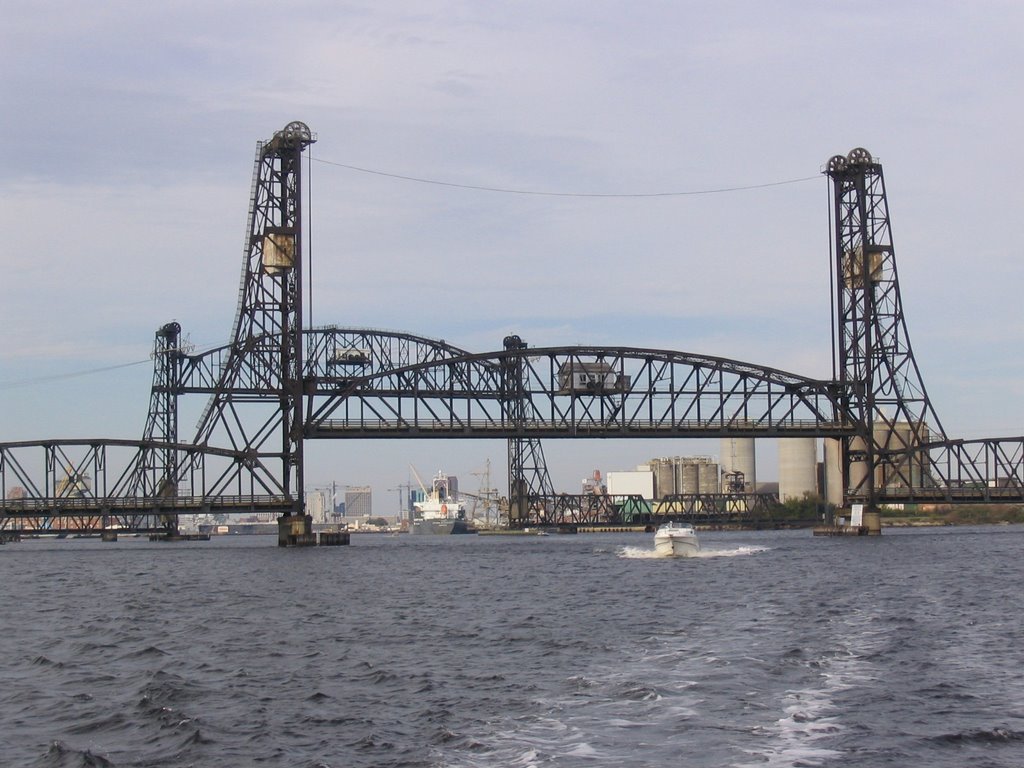
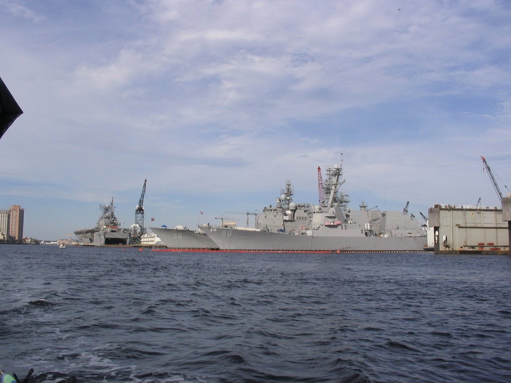
The ICW - Intercoastal Waterway Norfolk, Virginia October 30, 2006 We slipped through the pre-dawn mist amidst a sea of loons to begin our last day on the Chesapeake. The pelicans seem as curious of us as we are of them. They circle and sweep by us as we pass. We enjoyed a sunny, warm day (74 F)and arrived in Norfolk Virginia, the start of the Intercoastal Waterway, just before sunset. Three dolphins delighted us by playing in our wake as we made our way. We knew it was a day of firsts for us when we sailed past a submarine, not to mention more naval vessels than Canada's whole fleet. We now know where they build and repair battleships, aircraft carriers and other warships. We also noted with interest the huge cranes loading and unloading container ships. For awhile it seemed that if a barge or naval vessel wasn't coming at us by water then a helicopter was zooming by overhead. What a busy port Norfolk is and what a huge presence the Navy makes there.
Exploring the Chesapeake We found ourselves on anchor in Horn Harbor (La 37 51'30, Lo 76 20'60) Virginia, after our longest and best day of travel so far. We left Annapolis at 0800 hours in W to NW 10-15 knot winds. We enjoyed a following sea in the sunshine and arrived at the Great Wicomico River at 2100 hours, having put 83 miles behind us in one day. We averaged between 6.5 and 7.5 knots. For the first time today we saw pelicans and loons. Horn Harbor is a true gunk-hole. The entrance is just slightly wider than our boat with shifting sand spits running out each side. Once inside it carries 9 feet depth for an area large enough to allow possibly 20 boats to swing. It reminded us of Wingfield Basin in Georgian Bay. It winds back for approximately half a mile. We enjoyed observing the jelly-fish (sea nettles) that have made Horn Harbor's quiet waters their home.
Fishing in the Bay On our departure from Annapolis we passed through 5 boats of fishermen harvesting oysters. They were employing "hand tonging" which I read is one of the oldest fishing traditions still in use in the bay. Crab pots are a constant obstacle to dodge in the Chesapeake. I read in past years as many as 93 million pounds of blue crab have been taken in a single season. Clams are also key products of the bay as well as eels, catfish, striped bass, rockfish and a multitude of other varities. We learned about pound net fishing in our near miss of one while powering along in the dark. Who would ever think a fence would be sticking 6 feet out of the water two miles off shore (unlit, unmarked). It was quite a surprise, but we missed it! We have greatly enjoyed watching with interest the commercial watermen at work, and we have also greatly enjoyed the fruits of their labour.
Annapolis area - Chesapeake Bay
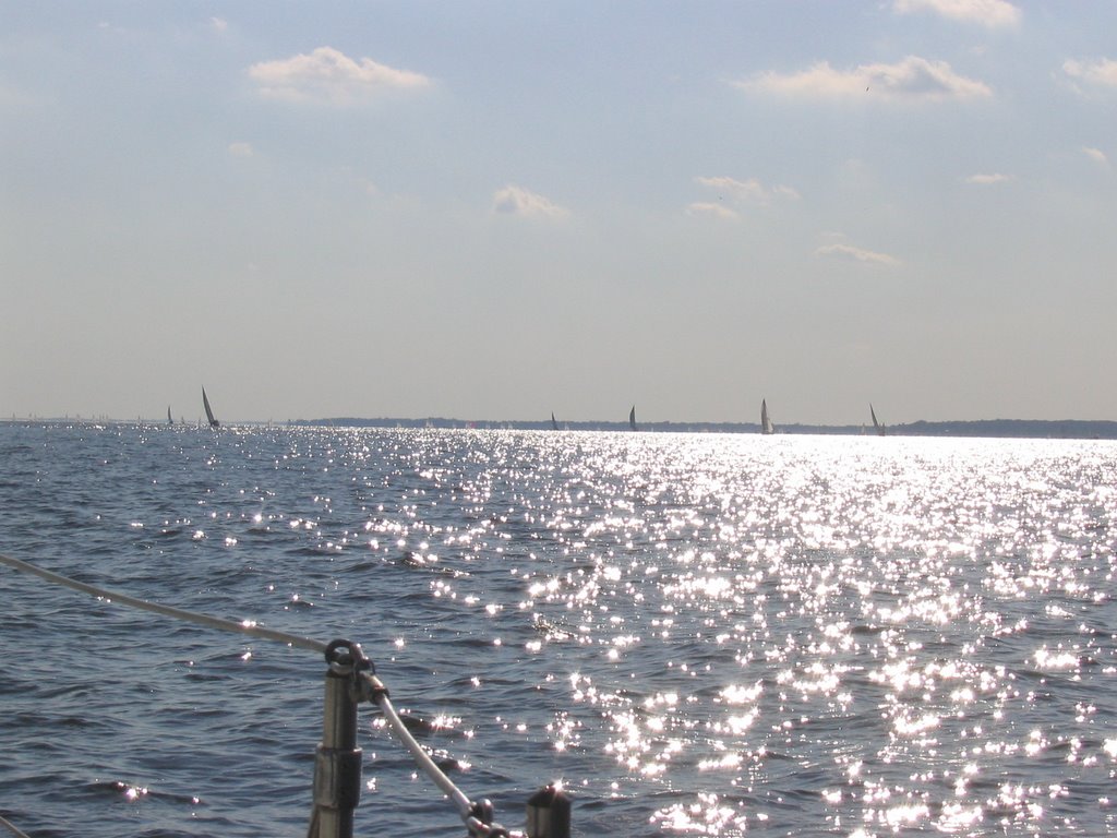
The Chesapeake - Annapolis October 2lst was a sunny Sunday on Chesapeake Bay. A 360 degree turn, off of Annapolis, showed more sails than we've ever seen. We were in awe at the unbelievable number of sailboats on the water. On our arrival at Back Creek (Eastport) Annapolis, we were greeted by our friends, Frederica and Alberto, on board Nausicaa. It was great to catch up with them again. We spent 5 days on anchor in Annapolis. During that time we were delighted to catch the final and deciding Formula One race at a sports bar. Even though Sunday afternoon football was on they were kind enough to switch one screen to the race for us.
3 States in 1 day The Chesapeake Thursday, October l9th saw us leave our overnight anchorage in the Cohansey River (off of Delaware Bay) in the state of New Jersey. We left Delaware Bay and the Delaware River behind us to travel through the C&D (Chesapeake and Delaware) canal in the state of Delaware. Once through the canal we entered Chesapeake Bay in the state of Maryland thus having travelled in 3 states in 1 day. Our first anchorage in the Chesapeake was in Turner Creek off of the Sassafras river La 39 2l'5, Lo 75 58'9 The skies are alive with birds - flocks of Canada Geese, buzzards and ducks. The fall colour is tremendously enjoyable. We've become very aware of the U.S homeland security program. In Cape May we were allowed to anchor off the Coast Guard station there, but not to come ashore. A minimum distance of 500 feet is required away from all Coast Guard facilities. Our Cohansey River anchorage was within sight of Salem Nuclear Power Plant and we could see 2 helicopters patrolling the area. One nearly touched down on our deck in the evening to check us out (watch out for that mast). The Chesapeake Bay charts show a huge number of restricted areas. Gunshot and explosions can be heard in many sections. We were careful to keep outside of the buoys marking the target practice area. The Air base there has very unusual looking planes flying over the Bay. On the radio we hear constant discussion regarding the war.

Tuesday, October 17, 2006

Ocean Fishing We have witnessed with great interest the business of ocean fishing as we've travelled along the Atlantic. We know nothing of this business, but this is what we've seen: In Sandy Hook Bay we first saw the crab fishermen. One man, standing in each small boat, with an old nylon tarp fastened at either end of the boat to catch the wind. The fisherman drags and pulls with the assistance of the wind, a container along the sea floor. Certainly an odd sight to see all those fellows standing out there tugging away, but obviously it works. We also saw men on the pier there using traps baited with chicken and fish heads catching crab. We could barely get through the huge number of fishermen on private boats at the top of Sandy Hook, where it enters the ocean. (It was an early Friday morning with strong winds and temperatures in the 30's). All the way along the coast we've seen huge schools of fish. Yes, we can actually see them. They break the water with their flipping about and also we can see the change in the colour where they are in the water. We're told these are bunker fish and they are forced to the surface by larger fish (sea bass - stripers) chasing them from below. The harbours of the Manasquan River, Atlantic City and Cape May are full of commercial fishing vessels. We recognize the shrimp boats amongst them. We've seen a great many men fishing from the beach into the surf and every pier we've passed is loaded with lines in the water. We have dodged a constant profusion of buoys marking traps and nets set by commerical boats. We can't just say who's winning, the fish or the fishers, but we can say the chase is certainly on.
The Atlantic Ocean Atlantic City to Cape May It was 36 degrees when we awoke in Atlantic City on October 15th. We took our dingy across the harbour and spent the day exploring casinos - Trump, Bally's, Borgata, Sands, Showboat, Resorts, Taj Mahal, Harrah's and Ceasars. The late afternoon found us strolling the famous boardwalk in warm sunshine. As we walked through town we got a kick out of the street names, as the board game Monopoly is fashioned after Atlantic City. Today we spotted 2 dolphins, l fox, l jelly-fish and lots of high rollers. October 16th we motored in calm seas to Cape May and anchored out in front of the Coast Guard station, thus ending our sailing on the open ocean.